In August of 2010 I spent two weeks in Alaska traveling with my wife. This was by no means a bike-related trip (I got to hike on glaciers, sea kayak next to glaciers, see whales, hike to secluded lakes, etc.), but you know how the mind of a cyclist works. I couldn't help thinking about what it would be like to travel through Alaska by bike, and I couldn't resist taking a day to squeeze in a century.
Alaska would be a wonderful place for a bike tour. Anchorage is surprisingly bicycle friendly, and it would be easy to fly in and start off right from the airport. Outdoor activities are huge in Alaska and there always seemed to be a campground around the corner, making it easier to ride a comfortable distance every day and to change plans on the fly when necessary. There are plenty of off-the-bike activities to take part in: hiking, fishing, kayaking, rafting, and even glacier hiking or wildlife cruising in certain locations. On top of all of that, daylight hours are extra long during the summer, which was one of my favorite things about Alaska. All that sunlight would give you a chance to get long rides in during the day and still have plenty of daylight left for setting up camp and/or squeezing in an extra activity. You really get the chance to make the most out of your day. The bad news? The weather's not great (says the guy who loves deserts) and the bugs can be bad. It's a small price to pay for all the benefits.
My century took place in Denali National Park. The National Park Service has a good guide to cycling in the park here. There is essentially one road in the park, which is only paved and accessible to personal vehicles up to mile 15. From there on out it's a quiet dirt road traveled mostly by the shuttle buses. In other words, it's a perfect place to ride.
The day before my ride we took the shuttle bus tour for some wildlife spotting and some hiking. We saw tons of wildlife (3 bears walked right by our bus), but it was too cloudy to see Denali (a majority of park visitors don't). The great thing about the bus system is that you can buy a ticket for one bus, get off whenever you want, and hitch a ride back on a different bus. Some of the buses have bike racks, so if you do a little planning ahead and you don't have all day to ride, you could take the bus out to anywhere you wanted and ride back to the park entrance area.
On the morning of my bike ride I decided to try to catch the free shuttle bus out to mile 15 so I could get as deep into the park as possible. Luck was on my side from the start as I was the only guy with a bike, so I had no problem making it out to mile 15 with my bike.
Speaking of my bike, I got stuck with a rental that was about two sizes two big and not in the best mechanical condition. It was either that or a girl's bike, which my pride simply couldn't handle. My advice: rent a bike in Anchorage instead of near Denali if at all possible. I'm sure the selection there is much better.
As for the ride itself, luck continued to be on my side early on. The sky was almost perfectly clear and we could see Denali from the bus. I had convinced myself the day before that I was never going to be able to see Denali itself, so the whole experience put a huge smile on my face and I couldn't wait to get riding so I could see it the way everything is best seen: on a bike.
After taking a few pictures from the bus we made it to the end of the pavement, which is where the free bus ride ends. I unloaded the bike and set out in a great mood, trying to ride at a good pace to get the best view of Denali I could before the clouds inevitably rolled in.
Eventually the poor bike fit took its toll on me. I developed pain in my right knee, and eventually favoring that knee led to pain in my left knee. There was no way I was going to miss out on my one chance to ride a century in Alaska, so all I could really do was push through the pain, stand up a lot, and/or spin easy gears. This led to the slowest century I've ever done, but I suppose what that means is that I had more time to take in the scenery. That's what cycling is about: pushing through tough times and somehow coming away with a memory of how fun the whole thing was.
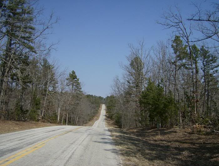
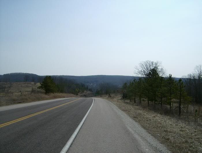
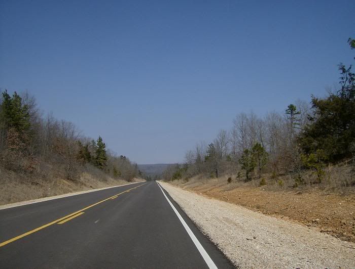
The pictures below show only a small fraction of the beauty I saw all day. Imagine riding on a quiet dirt road, mile after mile of mountain after mountain. It sounds perfect, yet somehow it felt even better than it sounds.
Alaska would be a wonderful place for a bike tour. Anchorage is surprisingly bicycle friendly, and it would be easy to fly in and start off right from the airport. Outdoor activities are huge in Alaska and there always seemed to be a campground around the corner, making it easier to ride a comfortable distance every day and to change plans on the fly when necessary. There are plenty of off-the-bike activities to take part in: hiking, fishing, kayaking, rafting, and even glacier hiking or wildlife cruising in certain locations. On top of all of that, daylight hours are extra long during the summer, which was one of my favorite things about Alaska. All that sunlight would give you a chance to get long rides in during the day and still have plenty of daylight left for setting up camp and/or squeezing in an extra activity. You really get the chance to make the most out of your day. The bad news? The weather's not great (says the guy who loves deserts) and the bugs can be bad. It's a small price to pay for all the benefits.
My century took place in Denali National Park. The National Park Service has a good guide to cycling in the park here. There is essentially one road in the park, which is only paved and accessible to personal vehicles up to mile 15. From there on out it's a quiet dirt road traveled mostly by the shuttle buses. In other words, it's a perfect place to ride.
The day before my ride we took the shuttle bus tour for some wildlife spotting and some hiking. We saw tons of wildlife (3 bears walked right by our bus), but it was too cloudy to see Denali (a majority of park visitors don't). The great thing about the bus system is that you can buy a ticket for one bus, get off whenever you want, and hitch a ride back on a different bus. Some of the buses have bike racks, so if you do a little planning ahead and you don't have all day to ride, you could take the bus out to anywhere you wanted and ride back to the park entrance area.
On the morning of my bike ride I decided to try to catch the free shuttle bus out to mile 15 so I could get as deep into the park as possible. Luck was on my side from the start as I was the only guy with a bike, so I had no problem making it out to mile 15 with my bike.
Speaking of my bike, I got stuck with a rental that was about two sizes two big and not in the best mechanical condition. It was either that or a girl's bike, which my pride simply couldn't handle. My advice: rent a bike in Anchorage instead of near Denali if at all possible. I'm sure the selection there is much better.
As for the ride itself, luck continued to be on my side early on. The sky was almost perfectly clear and we could see Denali from the bus. I had convinced myself the day before that I was never going to be able to see Denali itself, so the whole experience put a huge smile on my face and I couldn't wait to get riding so I could see it the way everything is best seen: on a bike.
After taking a few pictures from the bus we made it to the end of the pavement, which is where the free bus ride ends. I unloaded the bike and set out in a great mood, trying to ride at a good pace to get the best view of Denali I could before the clouds inevitably rolled in.
Eventually the poor bike fit took its toll on me. I developed pain in my right knee, and eventually favoring that knee led to pain in my left knee. There was no way I was going to miss out on my one chance to ride a century in Alaska, so all I could really do was push through the pain, stand up a lot, and/or spin easy gears. This led to the slowest century I've ever done, but I suppose what that means is that I had more time to take in the scenery. That's what cycling is about: pushing through tough times and somehow coming away with a memory of how fun the whole thing was.
The pictures below show only a small fraction of the beauty I saw all day. Imagine riding on a quiet dirt road, mile after mile of mountain after mountain. It sounds perfect, yet somehow it felt even better than it sounds.

A clear view of Denali from the bus ride out.
 Zoomed in. It's hard to get a feel for how huge Denali actually is.
 A picture of me in full tourist mode with Denali in the background.
 Another look at Denali. This is the first picture from the actual ride.
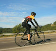
 The rental bike, which was too big and not in the best condition, but it got me through the day.
 The bike and Denali.
 No bears today.
 These squirrels were everywhere.
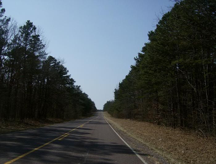
 The dirt road.
 My favorite picture of the road.
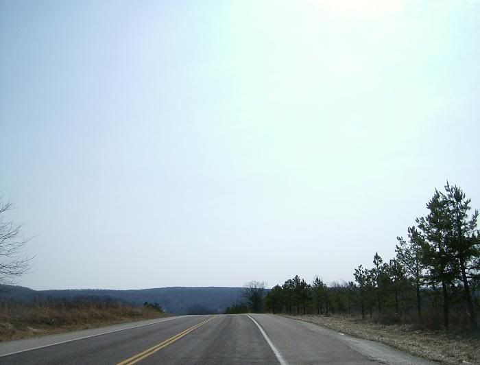
 As I got closer to Denali the clouds began to roll in.
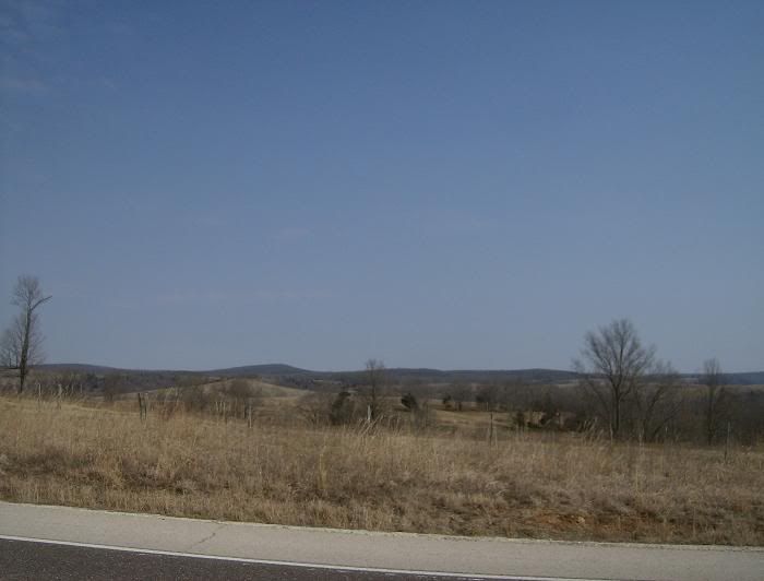
 Mountains everywhere. I could have taken hundreds of pictures.